


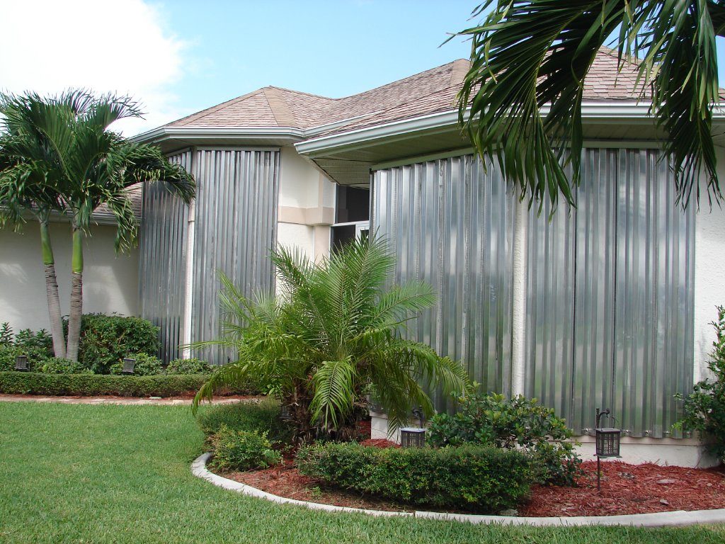
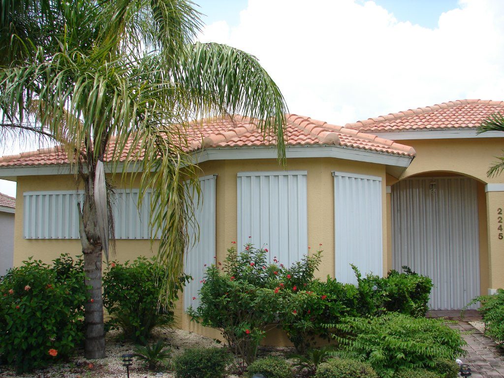
The Recognized Leader in Hurricane Protection
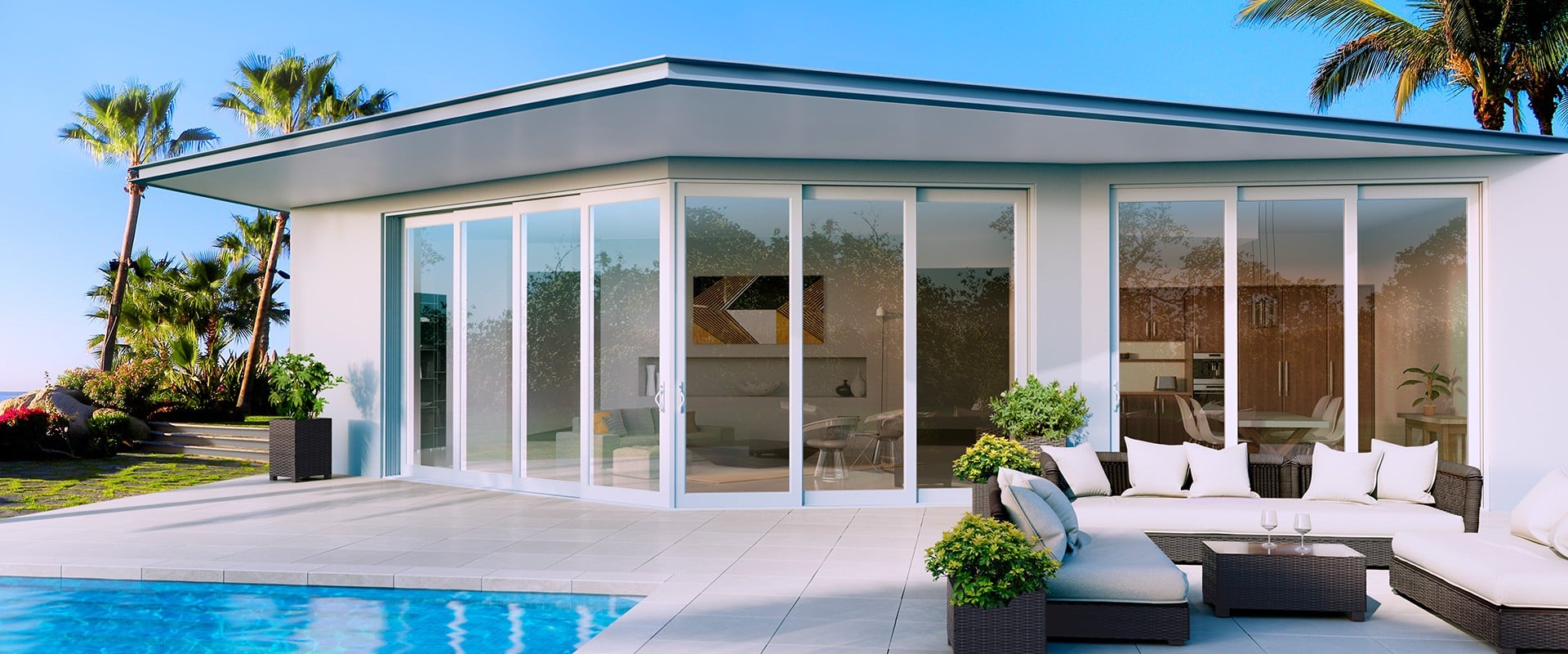
Serving Those Who Love Living in Paradise
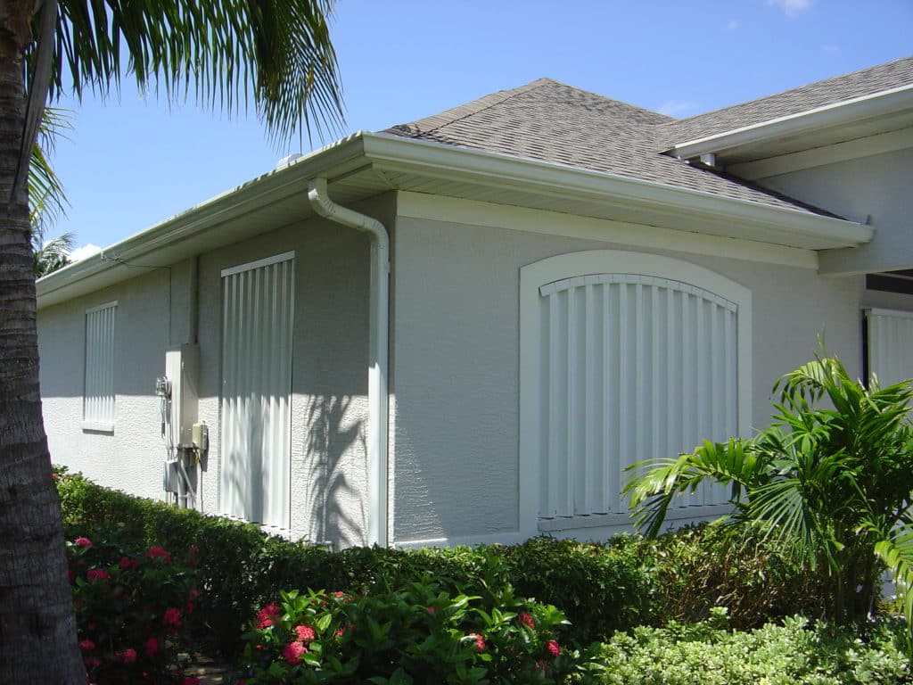
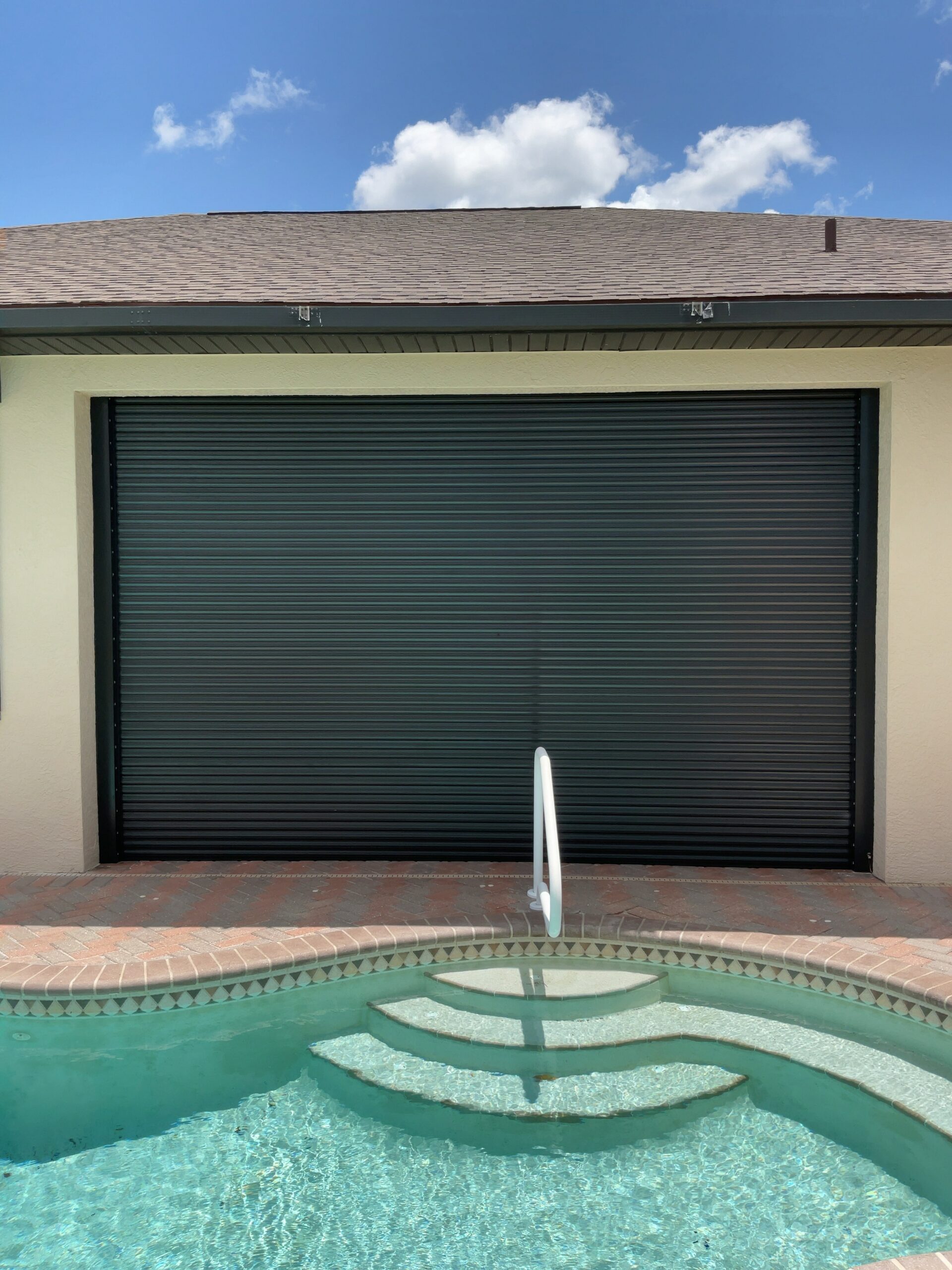
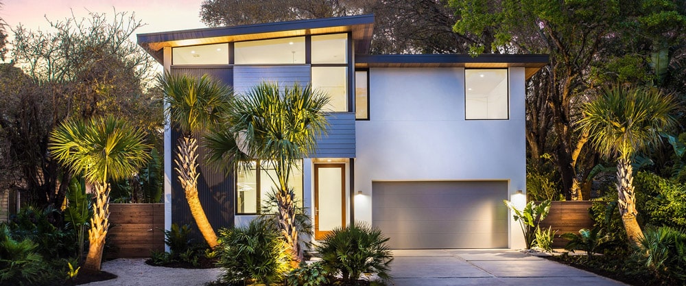
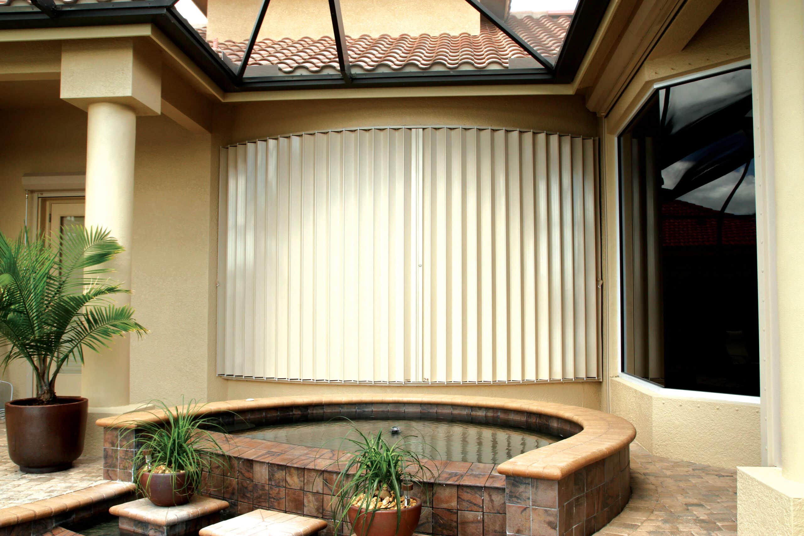
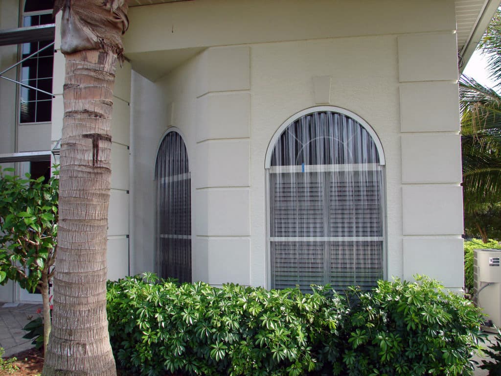
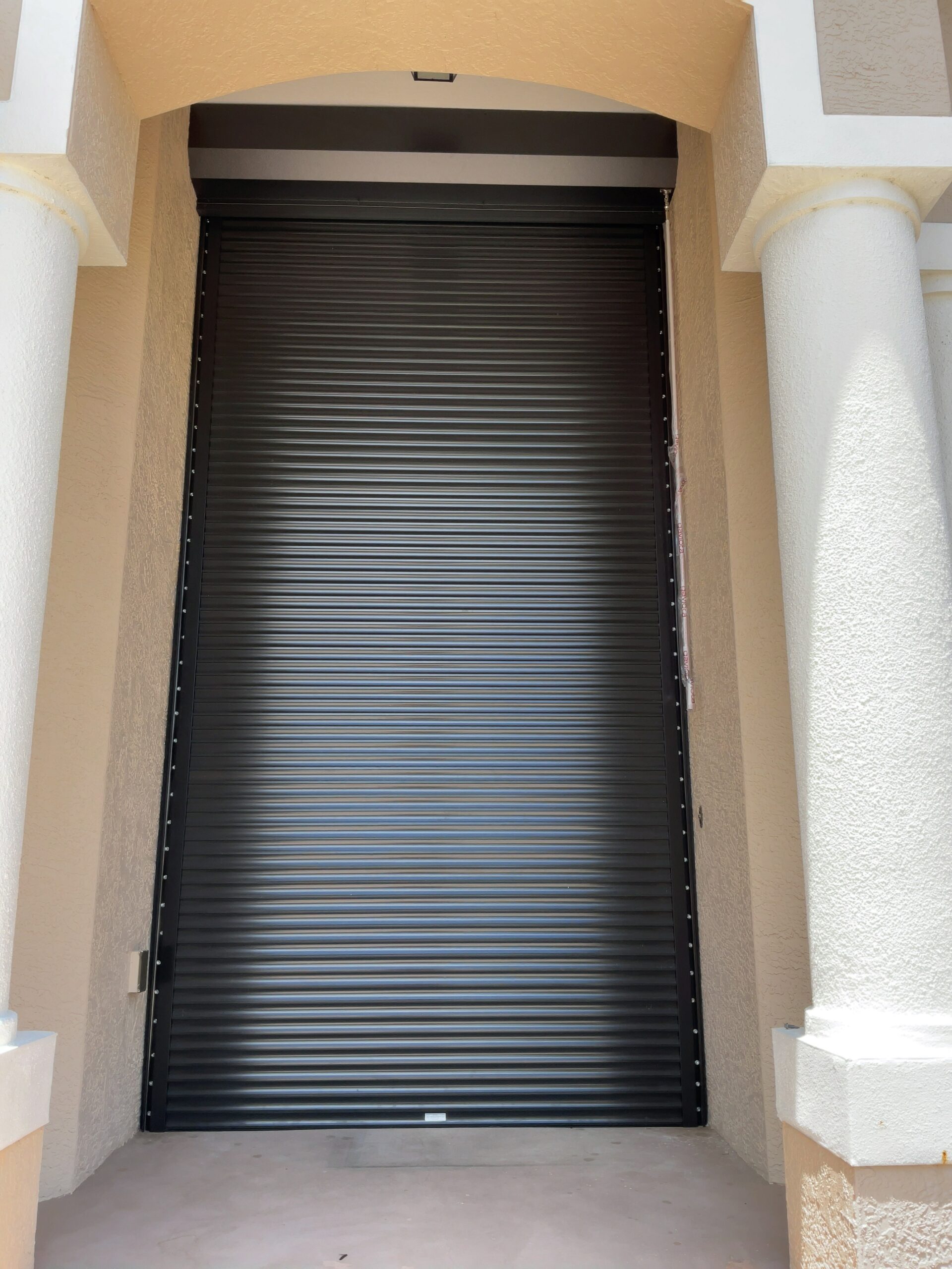
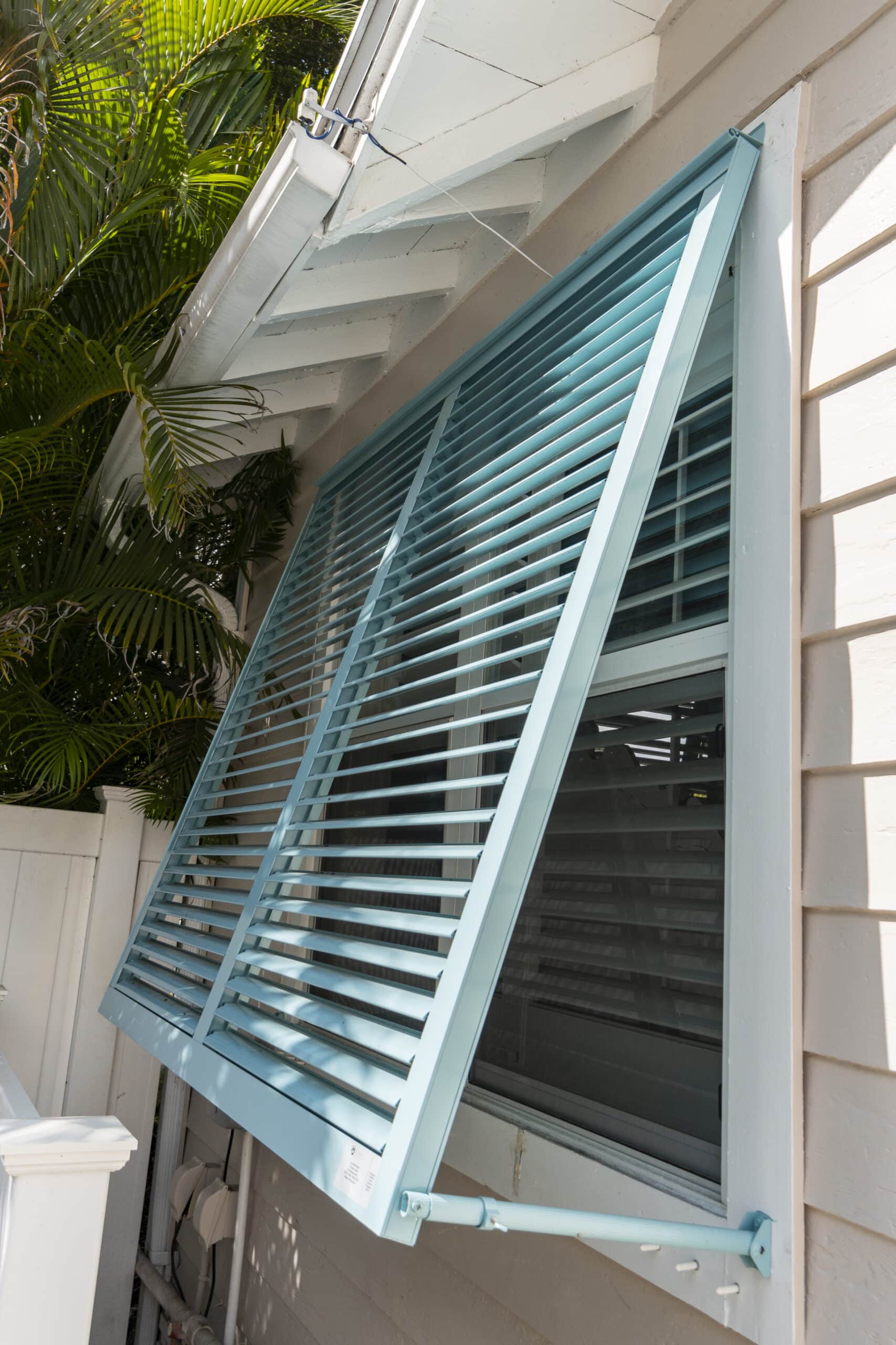
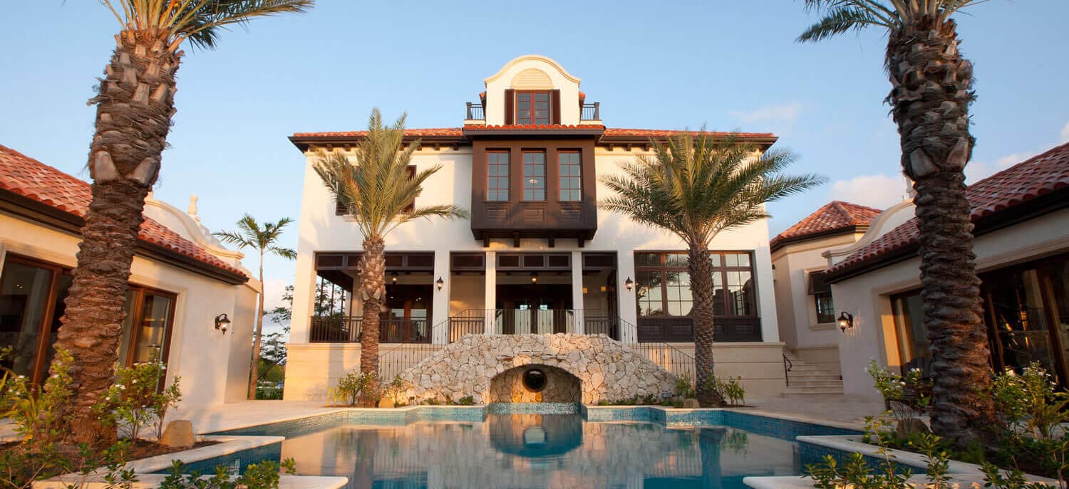
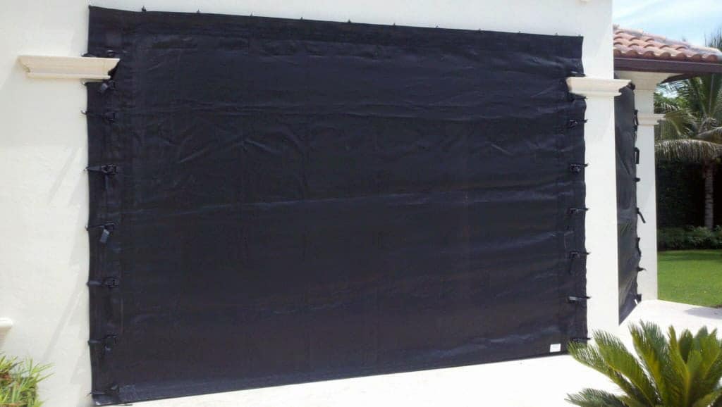
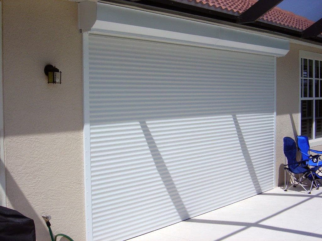
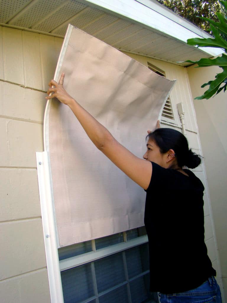
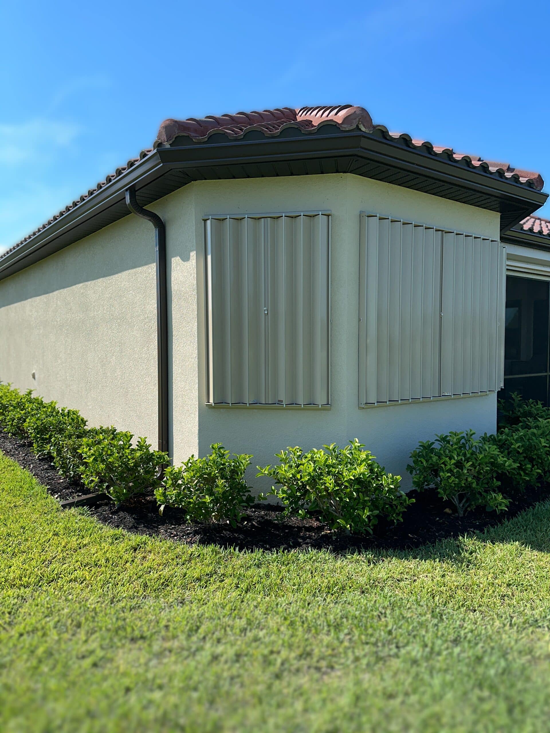
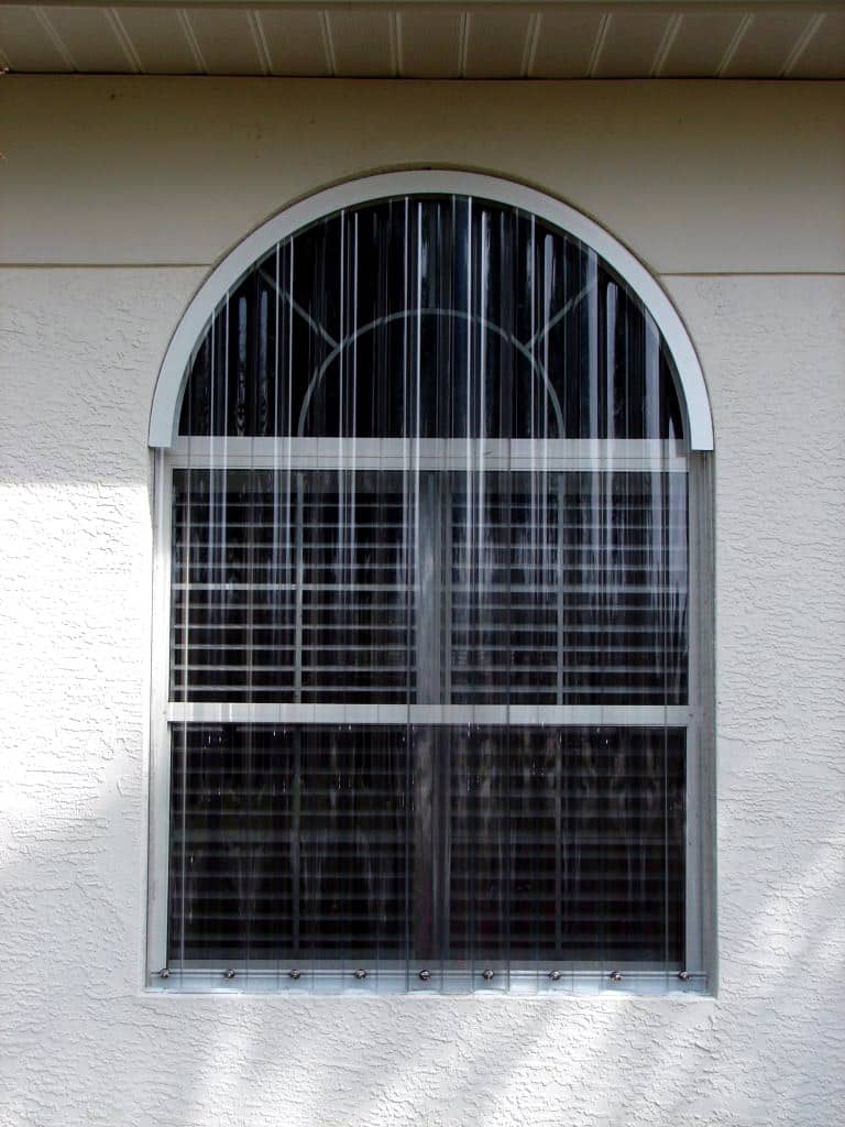
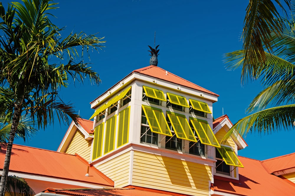
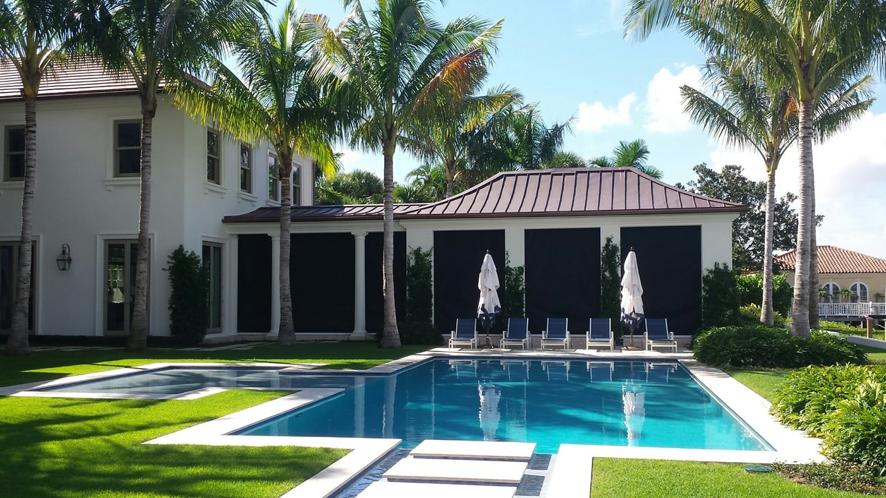
Lush palm trees, warm sunshine, beautiful beaches… Florida has a lot to offer its residents, but living in paradise also means contending with the storm season. At Storm Smart, we’re Floridians too, and we know how important peace of mind is when there’s a hurricane headed our way. As one of the largest manufacturers and installers of hurricane screens, shutters, and panels, we can shield your home from storm damage so that you can enjoy your tropical lifestyle to the fullest. Our innovative products have helped protect the homes of more than 90,000 local homeowners since our founding in 1996.
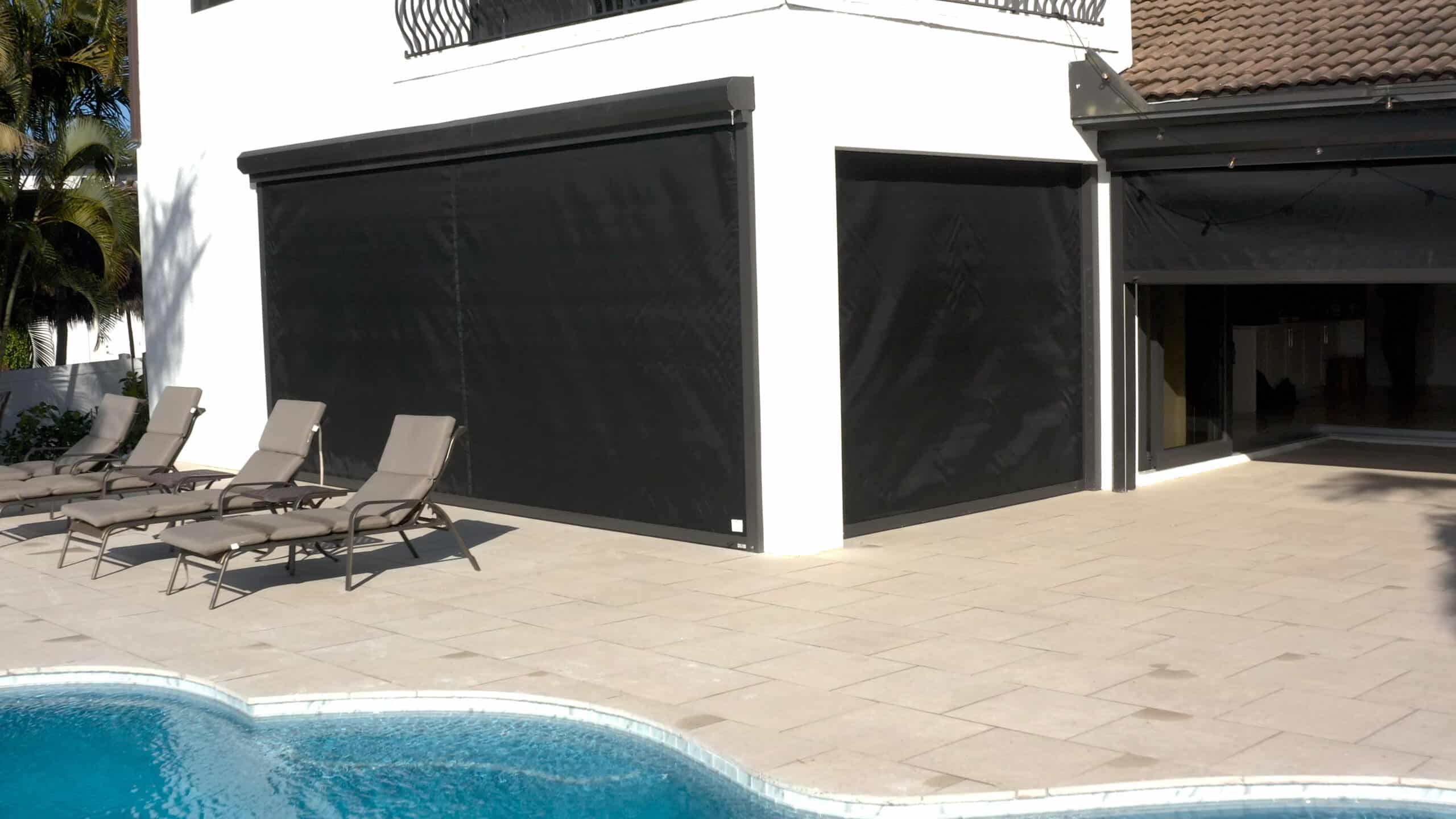
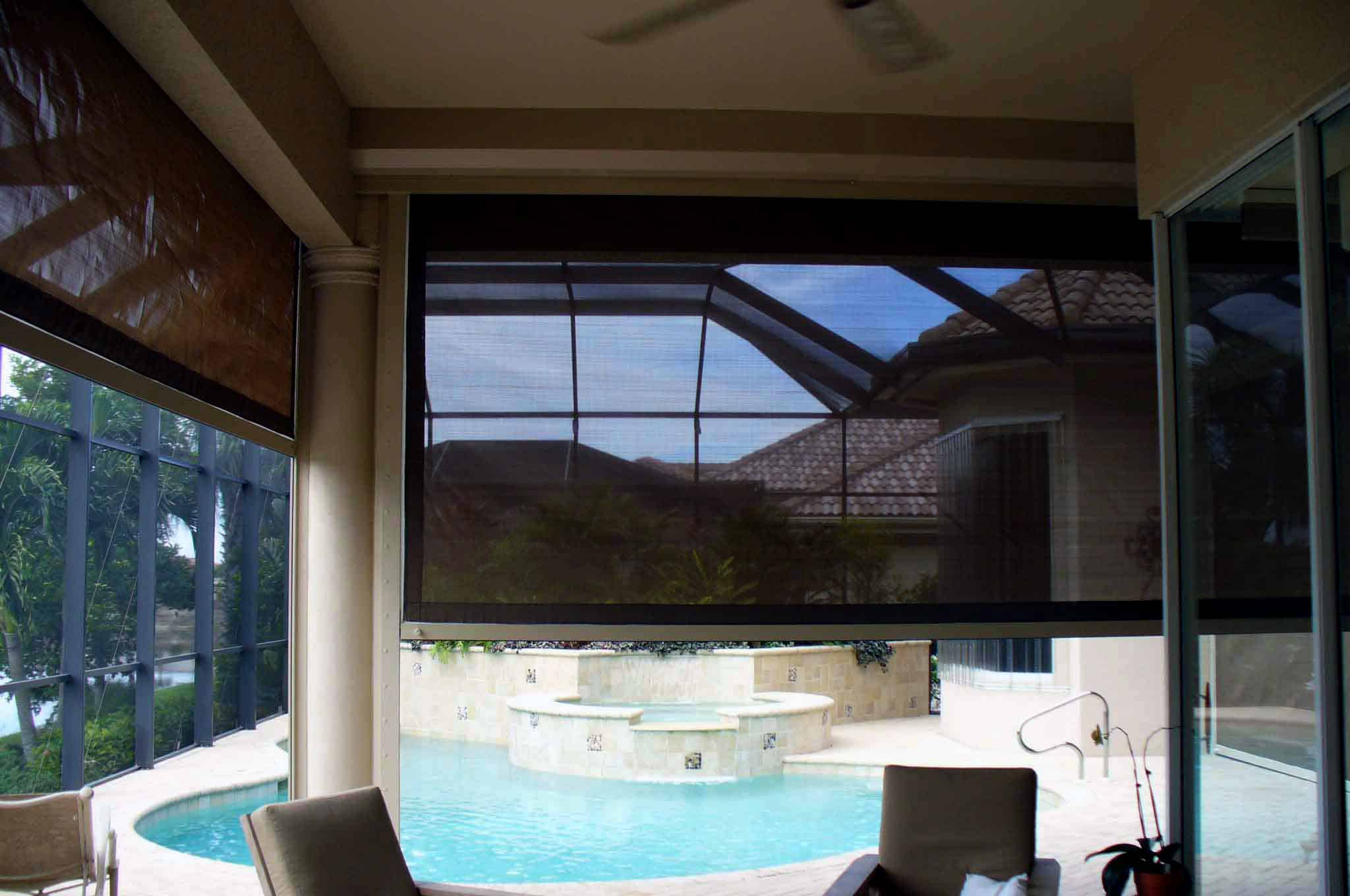
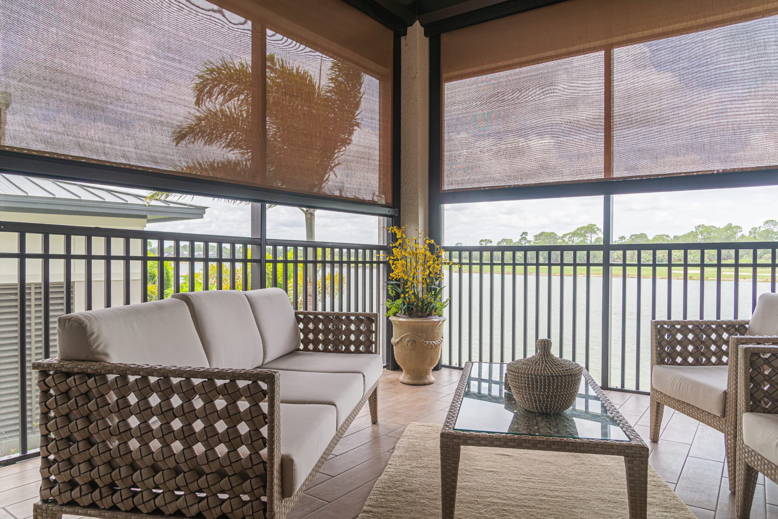
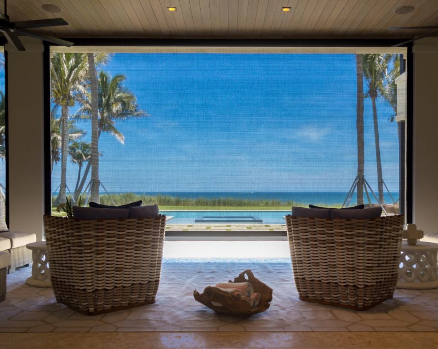
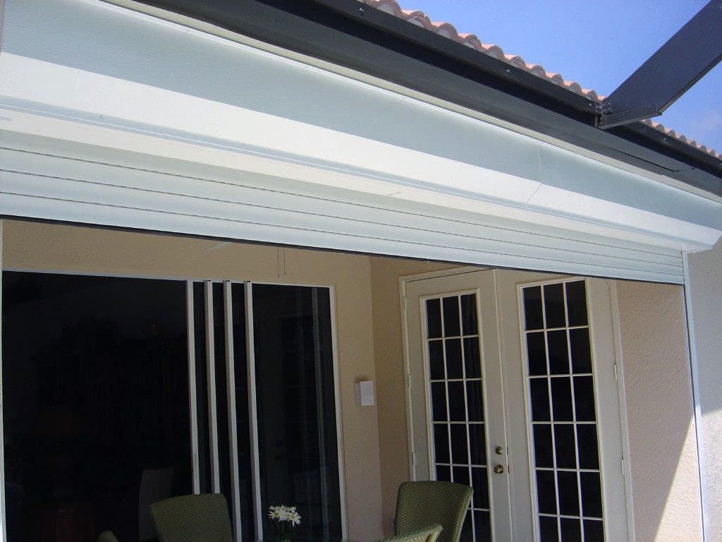
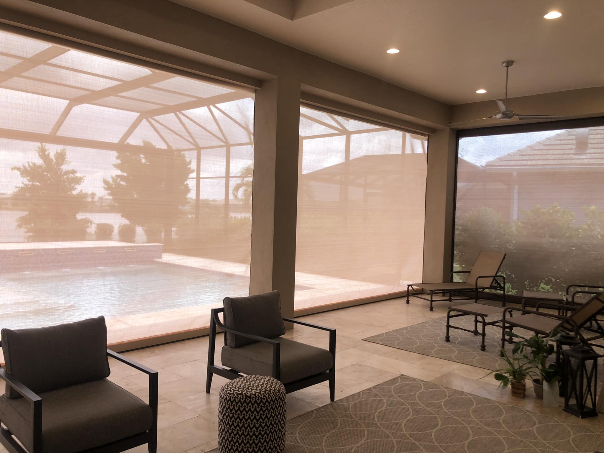
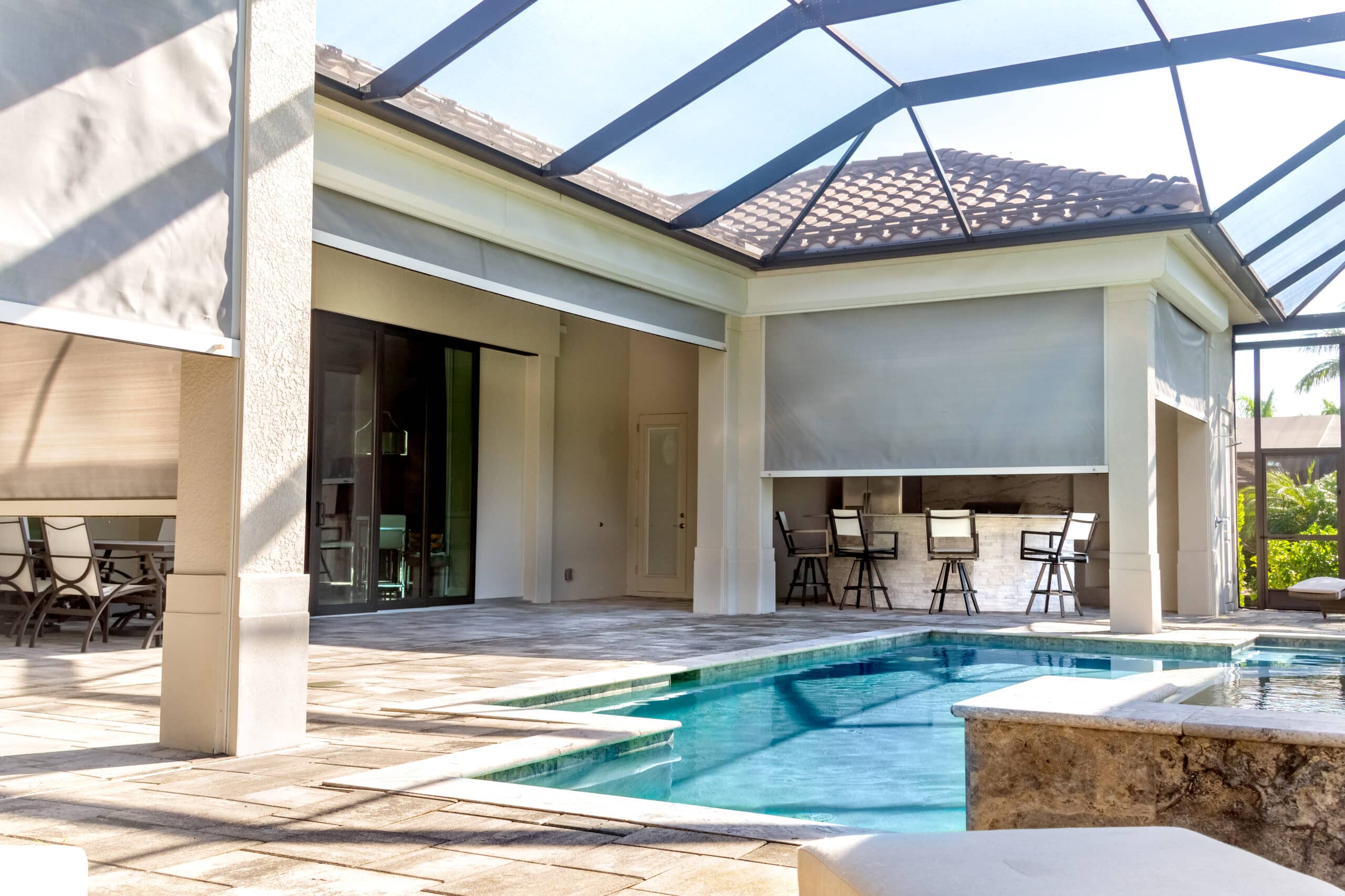
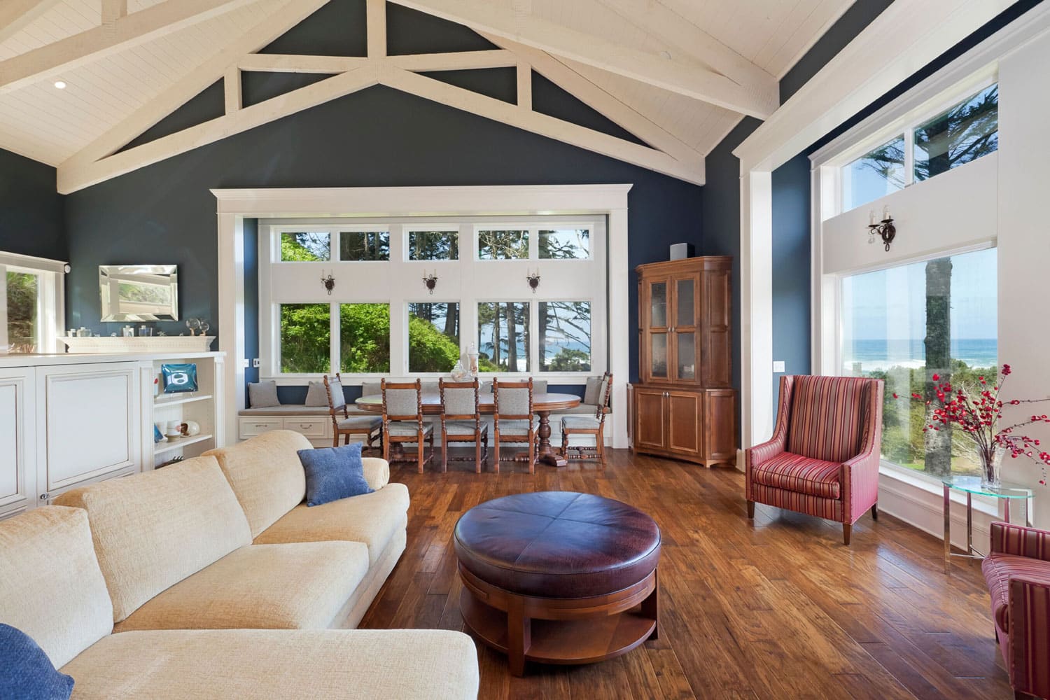
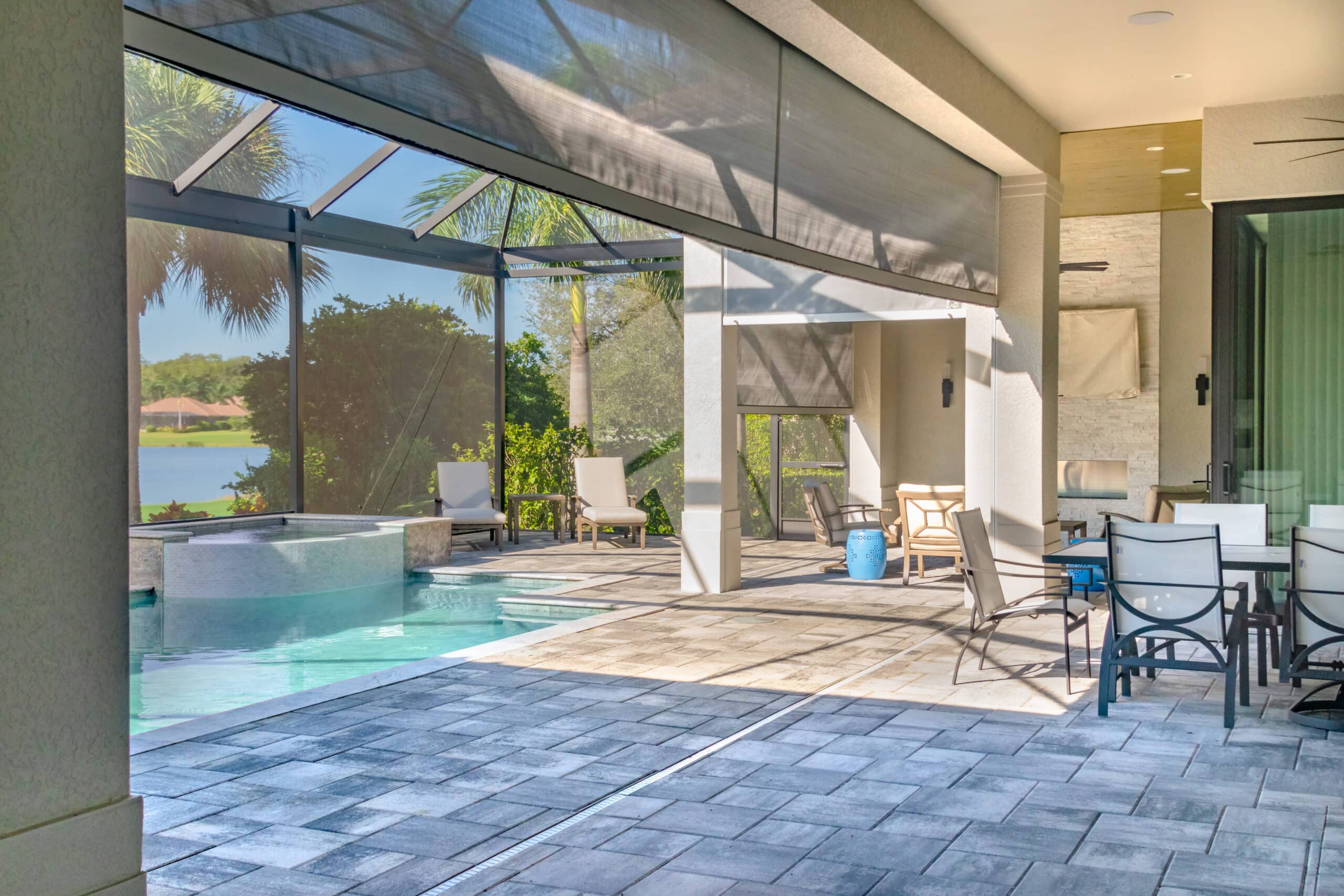
Many of our solutions are MULTIPURPOSE; designed with your lifestyle in mind and for 365-day use with examples to stir your creative juices below:
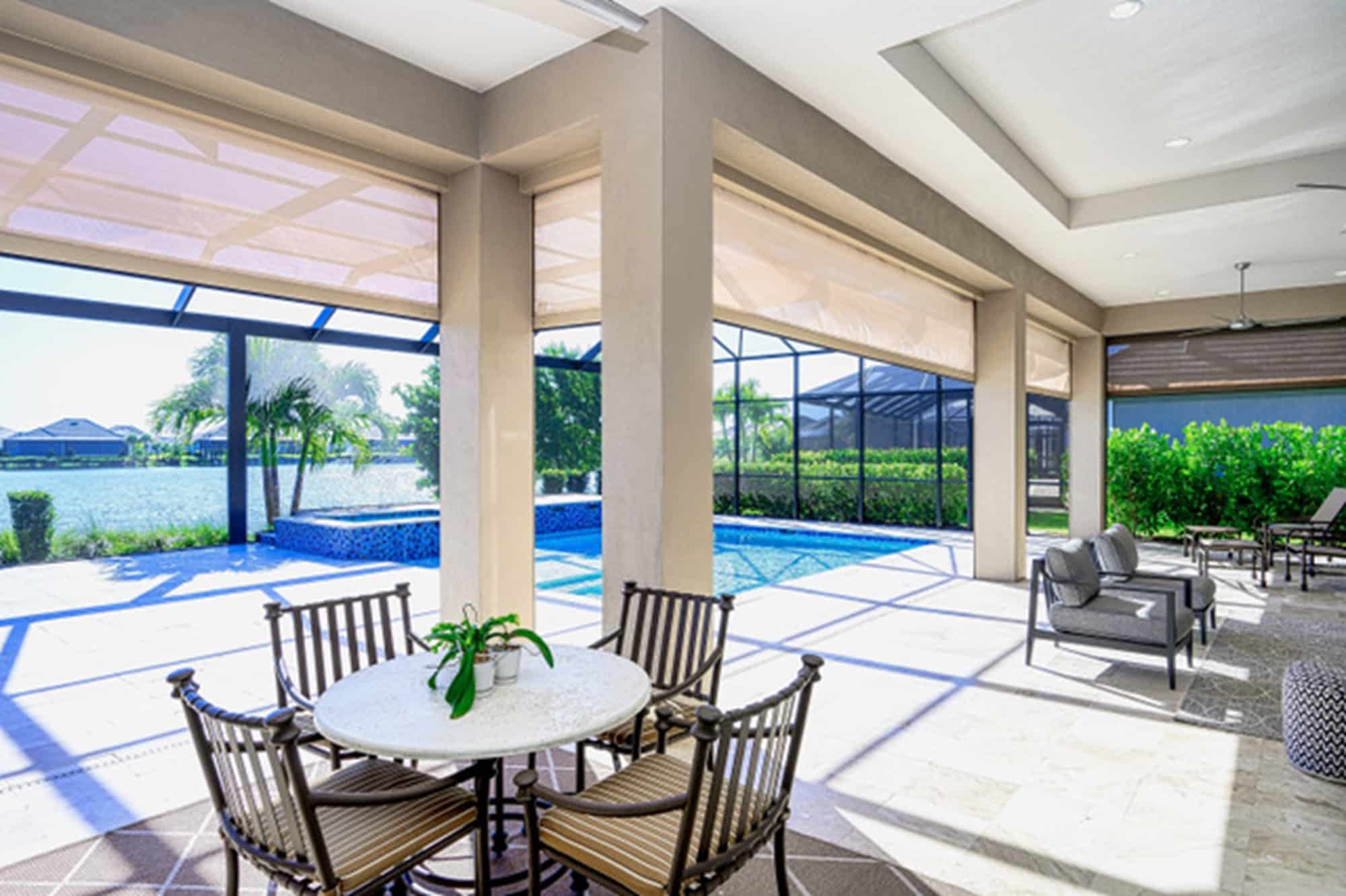
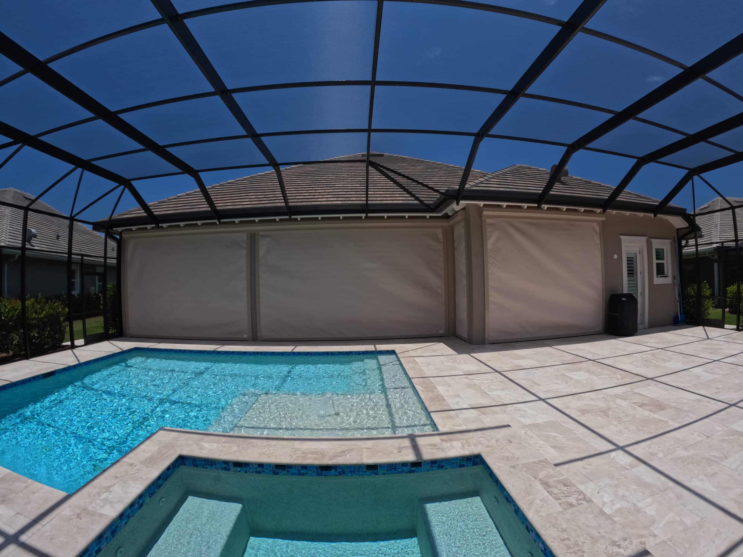
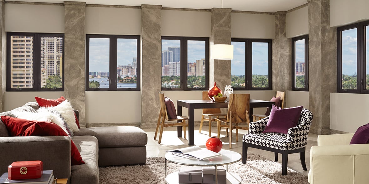
- Enjoy the bright, sunny mornings or afternoons, our screens are UV protected and easy to use
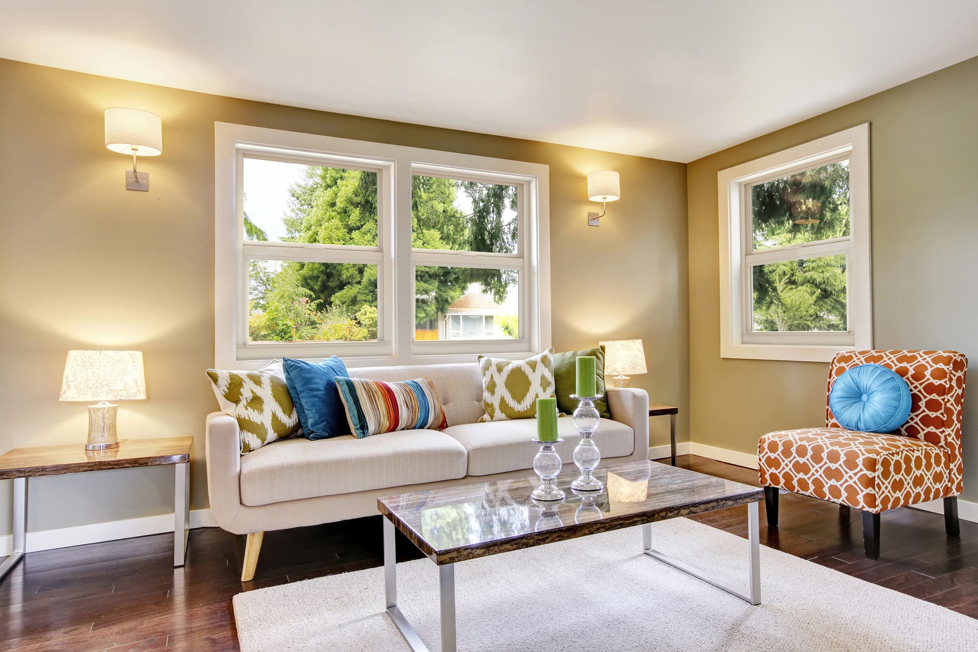
- Appreciate your lanai anytime with your home “extended” for family dinners, card games, movie nights, or rooting for your favorite sports teams; the possibilities are endless
- Benefit from energy savings so that you can spend your money on the fun stuff or save for that rainy day
- Block those bugs and enjoy without worry, no ifs, ands, or bugs
Multipurpose has really become a 365-day purpose with peace of mind that you are protected from the Storm.
Contact us today or visit our showroom in Fort Myers, Naples, North Port or West Palm Beach to learn how we can improve your lifestyle and secure your home against the forces of nature.


